Surveying Solutions
- Applying the basics of field measure for a given surveying project to map the dimensions of the land
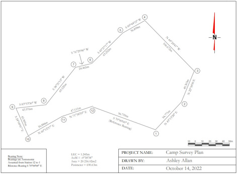
- Using COGO (coordinate geometry) skills to calculate, measure, and analyze existing and new field data and determine data quality of field work
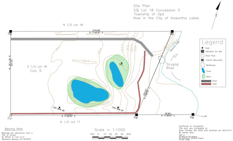
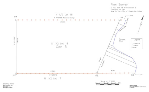
- Producing maps in AutoCAD with graphic attributes and organize elements using overlapping map layers to represent field work
- Handling surveying tools and equipment appropriately, in-compliance with industry safety and operating standards
- Forms and data collection
- Open/Closed Traverse Survey
- Traverse Adjustments
Check out Site Plan examples made by our experts!


